- Downtown
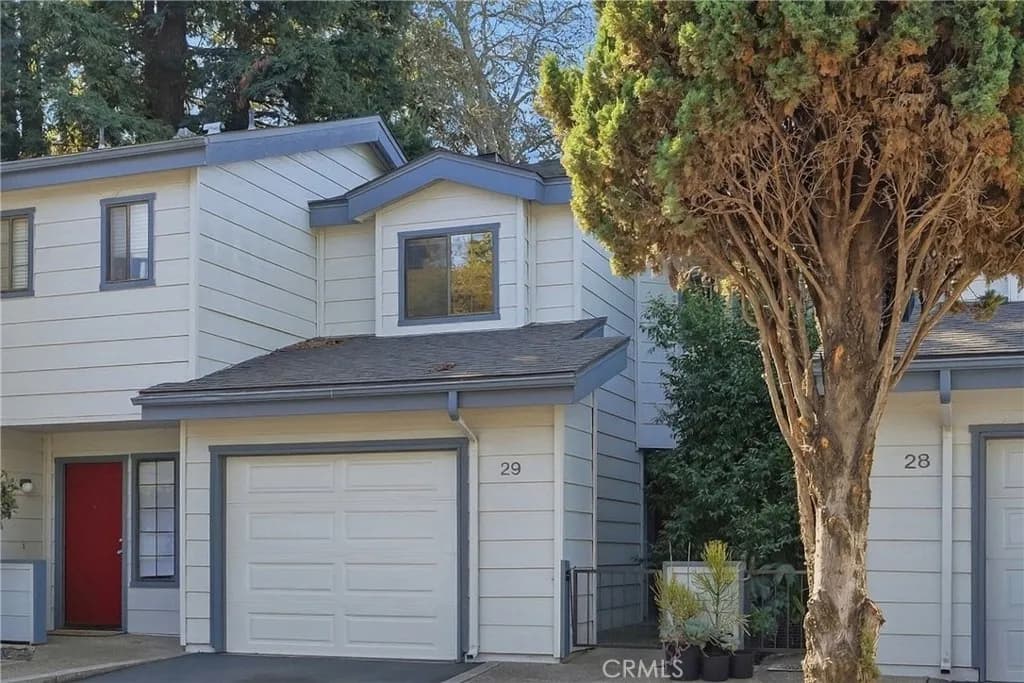
- The city's commercial and civic core and one of five city-designated historic districts, centered on Mission San Luis Obispo de Tolosa (founded 1772), Mission Plaza, and the creek walk along San Luis Obispo Creek. Housing here mixes condominiums, apartments above storefronts, and older homes within walking distance of Higuera Street.
- Old Town Historic District
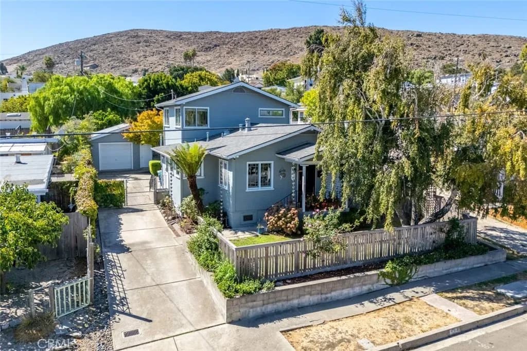
- A city-designated historic district covering 86 acres of the city's oldest residential blocks southeast of downtown, designated in 1987 and running from Pacific Street south to Islay, with Victorian-era homes dating from the 1880s to the turn of the century along streets such as Buchon. Many properties carry historic designations that can affect renovation plans.
- Railroad District
- A city-designated historic district surrounding the Amtrak station and the San Luis Obispo Railroad Museum, bounded roughly by the rail right-of-way, Johnson Avenue, Orcutt Road, and Broad Street. The area blends vintage homes with an evolving mixed-use, live-work character.
- Monterey Heights
- An established hillside neighborhood between downtown and Cal Poly with narrow, winding streets, 1920s-era Spanish-style bungalows alongside mid-century homes, and elevated views over the city. Its location puts both the university and Cuesta Park within short reach.
- Foothill / Cal Poly Area
- The neighborhoods along Foothill Boulevard and North Chorro at the base of Bishop Peak, closest to the Cal Poly campus. The area includes trailhead access to Bishop Peak Natural Reserve and a mix of single-family homes and rental housing serving the university.
- Laguna Lake
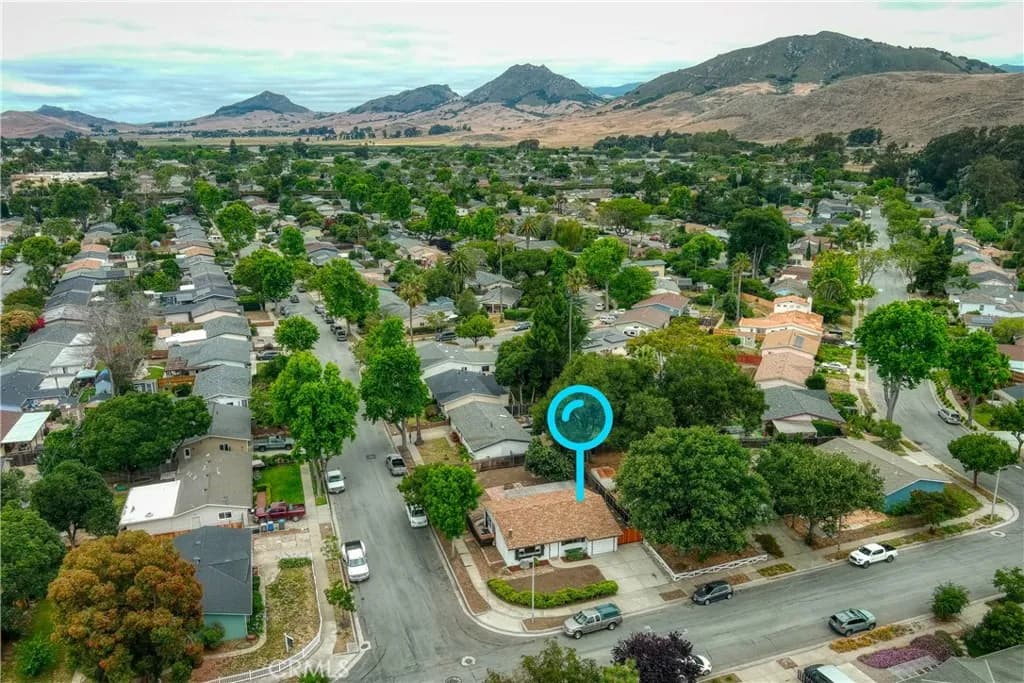
- A southwest San Luis Obispo neighborhood surrounding Laguna Lake Park, largely built out in the 1960s and 1970s, with the city's ten-hole executive-length Laguna Lake Golf Course and access to Los Osos Valley Road shopping. The park offers an off-leash dog area, open space, and walking trails.
- Johnson–Sinsheimer
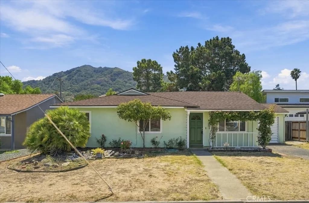
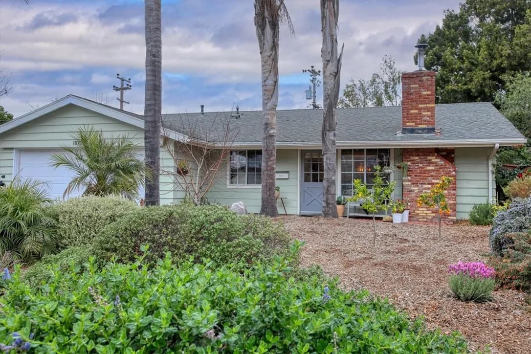
- The residential corridor along Johnson Avenue near Sinsheimer Park, close to French Hospital Medical Center, Sinsheimer Elementary, and San Luis Obispo High School. Mostly single-story mid-century homes on established streets between the Railroad District and the city's southeastern hills.
- Islay Hill / Edna-Islay
- Southeastern San Luis Obispo neighborhoods developed under the city's Edna-Islay Specific Plan (adopted 1982), sitting at the base of Islay Hill, one of the Nine Sisters volcanic peaks with a city open-space trail to its summit. Homes here are generally newer than the historic core, with greenbelt and creek corridors woven through.
- Righetti Ranch / Orcutt Area
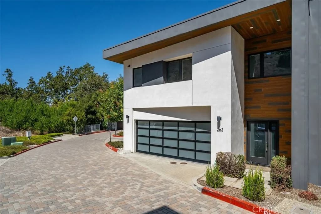
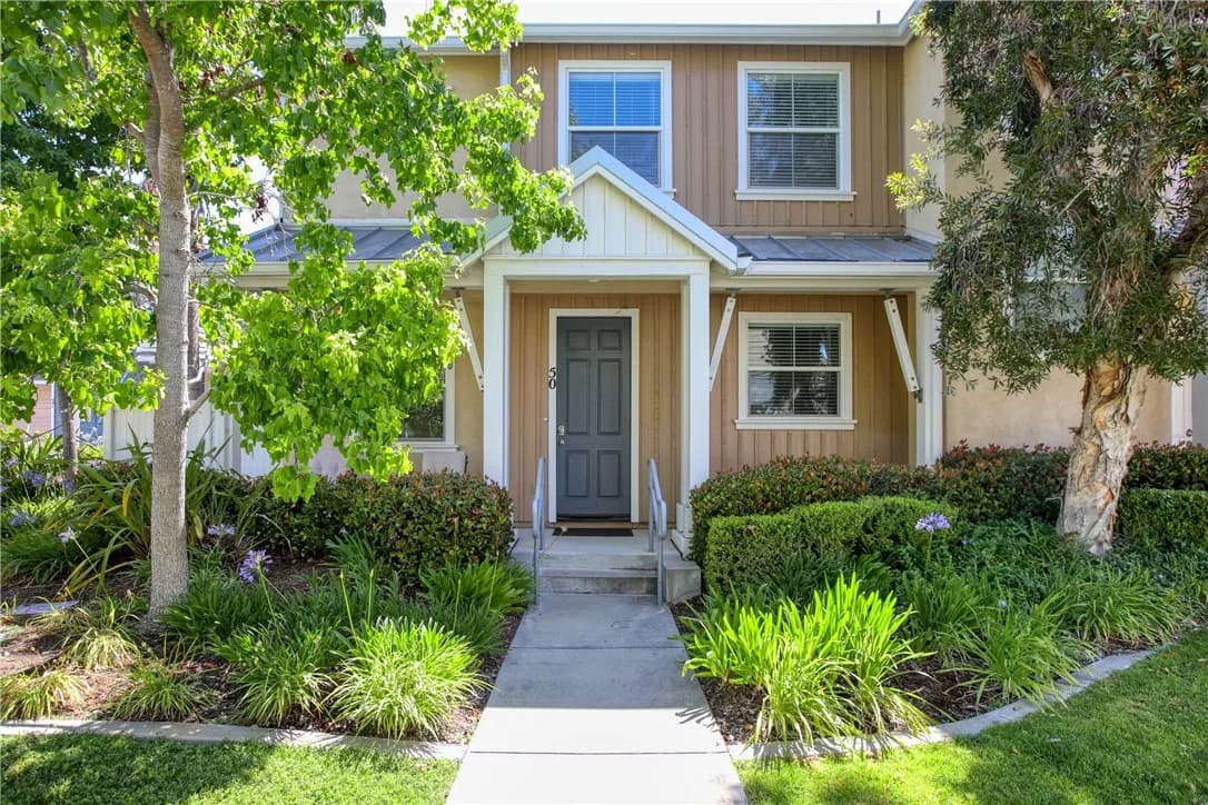
- One of the city's newest master-planned neighborhoods, built under the Orcutt Area Specific Plan in southeast San Luis Obispo, with a developing system of neighborhood parks and the Righetti Hill trailhead opened in 2025. Construction here is recent, with contemporary floor plans and planned community amenities.
- San Luis Ranch
- A newer specific-plan community off Madonna Road near the Laguna Lake area, planned as a mix of residences, commercial space, and preserved agricultural land. It offers some of the city's most recently built housing close to Highway 101 and Laguna Lake Park.