The City’s rules: net acres, one story and room for a stable
The City zones every home lot RA-S, Residential Agriculture-Suburban, in two sub-districts. RA-S-1 lots need at least one net acre and RA-S-2 lots at least two. Net lot area isn’t the parcel’s size. It leaves out any road easement plus 10 feet beside it, a 10-foot strip around the lot’s edge, any shared drive and a flag lot’s access strip. A lot of record created before the current minimum counts as conforming even if it falls short of it. The only primary uses allowed by right are single-family homes and crops grown without sales on site. A school, fire station, gate house, park or utility building needs a conditional use permit.
All structures may cover at most 20% of the net lot area, counting the house, garages, pools, game courts and a future stable. Structures plus driveways, patios and other paving may cover 35%. Disturbed area, which counts existing and proposed graded slopes and pads plus any ground under buildings, paving or decks, is capped at 40%. It can rise to 50% if no more than half the graded slopes are steeper than 3:1, or to 60% if none are. The code calls these limits maximums. One of the findings the Planning Commission makes in site plan review is that the coverage actually allowed depends on the lot’s buildable area. A house may have one story, with no story stacked on another, and stand no more than 21 feet from finished floor to peak. A basement is allowed. Front and rear setbacks are 50 feet. Side setbacks are 20 feet in RA-S-1 and 35 feet in RA-S-2, and a wider association easement along a side or rear widens the setback to match. Where a road runs in an easement along the side, the side setback is instead 10 or 25 feet from the easement’s inner edge. Lots in the OZD-1 overlay and some small older lots get reduced setbacks.
Every lot must keep an area developed or set aside for a stable and corral. Plans for a new house, an addition, a pool or an accessory structure needing a conditional use permit must show that area. It must be at least 1,000 square feet: 450 for the stable and 550 for the corral. You don’t have to build the stable. The City calls a stable “a valuable asset on each property”. Its animal rules set no number of horses, but a horse may not be stabled or corralled within 35 feet of a home.
The Planning Commission holds site plan review, at a hearing noticed to owners within 1,000 feet. It covers any grading that isn’t exempt, any new house or other new building and any addition over 999 square feet. The code lists exceptions such as ADUs, small accessory structures and small pools without grading. Additions of 999 square feet or less in a 36-month period that need no grading, with less than half the outside walls torn down, get staff approval without a hearing. The City Council can take up any Commission decision by three votes within 45 days. Building permits and inspections come from Los Angeles County Building and Safety under contract with the City, and the City also lists Willdan Associates as an alternative. The City tells new owners that no construction, however small, may begin without approval from the City, the association and the building department.
The community association: architecture, easements and fees
The Rolling Hills Community Association was incorporated in 1936. Its deed restrictions were first recorded by the Palos Verdes Corporation that year. They run with every property in the city except four sites the Housing Element lists: City Hall, the tennis courts, the school district site and the Daughters of Mary and Joseph Retreat Center. The City’s Housing Element says the association and its restrictions were in force before the City incorporated, and that the City has no jurisdiction over either. The association says its main jobs are maintaining the roads and common areas, upholding the community’s architectural standards and running the gates. It also keeps a file on every property.
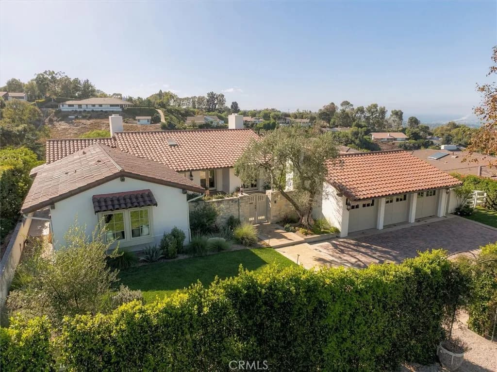
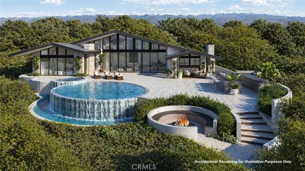
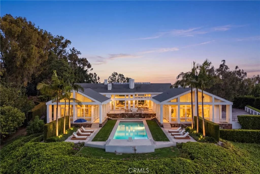
Its Architectural Committee, three members and two licensed architects, must approve any change to the outward look of a building or other structure. Association staff then issue the association’s own building permit. Its building regulations call for one-story, low-profile homes in traditional or California ranch style, white with white or earth-tone trim, except on Williamsburg Lane, where Colonial homes are the rule. Outside walls must be painted white with no tint, stables included, though natural stone may be left bare. The regulations say homes are “not to exceed 25 feet in height”. Fences next to easements must be white three-rail, and new or replacement fencing needs a survey and an association fence permit. The regulations also allow only one meter per utility on a property, which conflicts with the City’s SB 9 rule that each new home have its own meters.
The association says its easements surround each lot “like a picture frame”. Roadside easements run 10 to 50 feet wide and side and rear easements 10 to 25 feet. They’re used for roads, bridle trails, utilities and drains, and the association says they’re deeded to it even though they lie inside your lot lines. You may remove things from an easement, but nothing new goes in without the association board’s approval. It can revoke a license to use an easement whenever it needs the land for a deed-restriction purpose or to comply with law. Its 2013 easement guidelines, under review since 2021, say structures there without approval or a license aren’t grandfathered.
Under a fee schedule adopted February 6, 2025, the association charges its own permit fee by the square foot. It applies to new construction, accessory buildings, and additions and major remodels that take the existing structure down to the studs or foundation. It bills a road-use surcharge on each permit too, and adds a penalty of 300% of the fee, up to a cap, for building without its permit. Its annual assessment is a rate on the county’s assessed value, 20 cents per hundred dollars. Its view rules, adopted in February 2025, cover only plants and apply only where the deed restrictions of the property with the plants include view language.
Private roads and the gate policy
The municipal code says all roads in the city are private, maintained by the association, and that no public money is spent on them except for public safety. The Housing Element describes winding roads paved 15 to 25 feet wide, with no curbs, gutters, sidewalks or streetlights, and says most streets are dead ends.
The association runs three gates, each staffed 24 hours a day. The Main Gate is at Portuguese Bend Road and Palos Verdes Drive North, the Crest Gate on Crest Road West and the Eastfield Gate at Eastfield Drive and Palos Verdes Drive East. A fourth gate, at the end of Crest Road East, is an unstaffed emergency exit. Under the gate policy, most non-residents get in only with a resident’s authorization. They’re on that home’s guest list, or the gate calls the resident, and they show a driver’s license or other government ID. That includes food delivery and ride-share drivers. A guest without ID can be admitted if the resident confirms by phone. Carriers the association designates, such as FedEx, UPS and the Postal Service, and riders with an association trail badge are admitted without a resident’s approval. Once inside, a visitor may use the roads only to reach that home and leave. Visitors may not use the roads or trails for recreation unless the resident comes along, and no visitor or worker is admitted on a bicycle or motorcycle.
Workers and service providers are admitted Monday through Saturday, 7 a.m. to 6 p.m. On Sundays and holidays, the only service providers admitted are emergency workers, food delivery, home health care and real estate agents. The City’s construction-hours rule also allows work Monday through Saturday from 7 a.m. to 6 p.m., though it exempts residents who own or lease the land. Dump trucks and oversized vehicles need extra permits. Process servers and government officials are admitted after they show credentials.
The City also has a trespass ordinance. It treats the private roads, trails and easements as private property. It’s an offense to enter after being told to keep off, or to stay after being told to leave. The warning can come from the owner, someone authorized by the owner or a deputy acting at their request.
Septic systems, and a sewer main still in planning
The Housing Element says Rolling Hills has no sanitary sewer system. The school district’s site and 13 homes connected to a neighboring jurisdiction’s sewers are the exceptions. Other homes use their own onsite systems, mostly septic tanks with seepage pits, and some may still have cesspools. Los Angeles County Public Health reviews and approves septic systems in the city under its Local Agency Management Program.
That makes septic capacity part of any building plan. The County’s guide says any expansion or new construction on a septic property needs a tested location for a future replacement system. Land unsuitable for a dispersal system is exempt. So is a one-time expansion of up to 10% of the home’s footprint that adds no bedroom and meets other conditions, including a geologist’s report. The guide requires a septic contractor to evaluate an existing system in three cases. The plans show it’s more than 15 years old, the plans don’t match the house, or there are no plans. The City’s own flyer tells owners to expect an evaluation for any remodel or addition. Adding a bedroom, or fixtures that raise the design flow, can mean a new system. Under the County program, the Regional Water Quality Control Board lets a cesspool stay in use until one of three things happens. It fails, it’s shown to contaminate water, or the owner gets a permit for a remodel that could raise wastewater flow, such as adding a bedroom. The County program also requires a slope-stability report from a certified engineering geologist or geotechnical engineer for a dispersal area on a natural slope over 30%. The City’s ADU rules require an ADU on a septic system to come with a percolation test from the past five years, or ten if recertified.
The City’s 1990 Land Use Element said water from septic systems was believed to have helped destabilize soil in the Flying Triangle landslide area. It named heavy rain and grading as well. The Housing Element says past studies found a conventional gravity sewer infeasible because of the terrain and unstable geology, so the cost to owners could be significant.
The City’s planned first phase is a 1,585-foot sewer line along Rolling Hills Road and Portuguese Bend Road to City Hall, the association’s office and the tennis courts. It would serve no homes. As of the City’s 2025-26 budget, the line was in a federal approval process, funded by a federal grant. Any cost beyond the grant would need City funds if the Council goes ahead. Under the County’s guide, once a public sewer is within 200 feet of a property, the County won’t permit septic repairs, and the owner must connect when the system fails.
Fire hazard severity zones after the 2025 map
The City Council adopted CAL FIRE’s 2025 fire hazard severity zone map by Ordinance 387 on June 9, 2025, and the ordinance took effect 30 days later. By our measurement, about 80% of the city’s land is Very High on that map, 12% High and 6% Moderate. All of it is a Local Responsibility Area. The previous map put more of the city in the top zone. The 2022 Safety Element says the whole city was Very High, and CAL FIRE’s record lists about 1,913 acres of Very High before. Of the city’s 745 residential parcels, 655 have their center in a High or Very High zone. Only 17 touch no zone at all, 14 of them on Outrider Road and Eastfield Drive.
Roofs follow a citywide rule. For a new roof, or a reroof, repair or addition over 200 square feet, the City’s zoning code requires a Class A covering and bans wood and reflective roofing. Rolling Hills also adopts Los Angeles County’s building and residential codes, which ban wood shingles and shakes in any fire hazard severity zone. For permit applications filed since January 1, 2026, additions, alterations and repairs in a zone must meet the full wildland-urban interface code, as new buildings have since 2008. Two City vegetation rules apply everywhere. You can’t plant new pine, palm, eucalyptus, juniper, cedar, cypress, shrub acacia or pampas grass, and you must clear dead plants and tumbleweeds except on slopes steeper than 2:1.
Los Angeles County Fire inspects defensible space each year and bills its inspection fee on the property tax bill. By our match, its 2025-26 inspection list includes 567 of the city’s 745 residential parcels. It has most of those in the Very High zone, about half of those in High and none in Moderate or outside a zone. State law requires at least 100 feet of defensible space around a home in a Very High zone, generally not past the property line. County Fire says up to 200 feet may be required. The state’s “Zone 0” rules for an ember-resistant strip within 5 feet of a home weren’t in force as of September 30, 2026. The Board of Forestry adopted emergency rules in August 2026, the filing was withdrawn in September and the Board says its review continues. As drafted, they would apply here only in the Very High zone.
At sale, besides the zone’s line on the Natural Hazard Disclosure Statement, the zone brings two state rules. Civil Code section 1102.6f covers most sales of a home built before January 1, 2010 in a High or Very High zone. The seller must give notice of the home’s known fire-vulnerable features and, since July 1, 2025, the state’s list of low-cost retrofits. Section 1102.19 calls for defensible-space documentation in those zones, under conditions. We found no Rolling Hills ordinance requiring owners to get that documentation. Without one, the statute asks for documentation obtained in the six months before the seller enters into the sale, where an agency provides inspections with documentation for the area. If the seller has no such documentation, the seller and buyer sign an agreement for the buyer to get it, within a year of closing where an inspector exists. County Fire’s information sheet on these inspections, dated February 2024 and still the version it links, says they cover the Very High zone in cities. The statute covers High zones too.
The Flying Triangle, the 2024 shutoffs and the state’s landslide zones
The state’s Seismic Hazard Zone maps for the Torrance and San Pedro quadrangles, released March 25, 1999, put about 28% of the city’s land in earthquake-induced landslide zones. That’s about 544 acres in 58 separate pieces. About 177 residential parcels have their center inside a zone, and 399 have more than 1% of their area in one. Portuguese Bend Road, Saddleback Road and Chuckwagon Road have the most such parcels. No liquefaction zone or state earthquake fault zone covers the city. A seller generally discloses a landslide zone on the Natural Hazard Disclosure Statement, which has a box for it.
The Flying Triangle landslide covers about 70 acres on the south side of the crest overlooking Portuguese Bend. The City’s 2019 hazard plan says it was seen moving in March 1980 and may have started as early as 1974. It calls it a reactivated ancient slide and ties it to unusually heavy rain in the early 1980s. That plan calls it unrelated to the Portuguese Bend landslide. The 2026 Peninsula plan says both that it’s a subslide of the larger Portuguese Bend complex and that it’s unrelated to the main slide. The 2026 plan says County studies identified the area as a landslide in 1948, before the City existed. It says that from the 1980s, building permits there came with waivers acknowledging the risk and indemnifying the City and County. The Housing Element says several lots there had homes destroyed by earth movement in the 1980s and early 1990s. It counts nine vacant lots in the Flying Triangle landslide hazard overlay among sites it presumes can’t be built on in the 2021-2029 planning period.
In 2024 the City reported movement in new areas. It reported land moving on Cinchring Road in July 2024, a fissure on Quail Ridge Road South and two water main breaks. SoCalGas shut off gas to 37 homes on September 16, 2024, and Southern California Edison cut power to 51 homes two days later. On September 23, 2024 the City Council voted not to proclaim a local emergency, citing residents’ feedback and the likely lack of a path to financial restitution. It directed the City Attorney to file complaints against both utilities with the state Public Utilities Commission. SoCalGas told the City in May 2025 that movement had slowed to 0.1 inch a week or less. In late September 2025 it began repairing its lines in the city to restore gas to homes that were ready. In September 2025 the City reported that it didn’t qualify for a FEMA-funded voluntary buyout program. As of an August 2026 notice, Edison expected to start work on its lines in the Rolling Hills area on September 1, 2026. The City notes that news reports often confuse Rolling Hills with Rolling Hills Estates.
The building rules reflect this. Under the County building code the City adopts, work isn’t permitted where the building official finds a landslide hazard, except in listed cases. They include reports showing the hazard will be removed or the site is safe, repairs, rebuilding after a fire or other loss that wasn’t a landslide, and a few others. Most of them require the owner to record a hazard statement and a hold-harmless agreement that binds later owners. The City can also require a state-registered geologist’s report before it issues a building or grading permit wherever it suspects a serious geological condition. Its code declares any condition that may aggravate an active landslide a public nuisance. The 2019 hazard plan says landslides in the city could be reactivated by heavy rain, by water from irrigation or broken water or septic lines, or by poor grading.
ADUs, SB 9 lot splits and short-term rentals
The City decides applications for accessory dwelling units (ADUs) and junior ADUs ministerially, without a hearing, within 60 days of a complete application. On a lot with a house, a detached new ADU of up to 800 square feet with 4-foot side and rear setbacks is allowed under the state rules. Other ADUs may reach 850 square feet for a studio or one bedroom and 1,000 square feet for two or more. An attached ADU is also held to half the house’s floor area, though never below 800 square feet. A detached ADU is limited to 16 feet in height. An ADU can’t be sold separately from the house or rented for less than 30 days, and it has no owner-occupancy rule. The association’s regulations set their own ADU limit of 800 square feet and allow one meter per utility. Its leasing rules forbid renting part of a property, including accessory buildings. The City’s Housing Element says state law bars association rules that prohibit or unreasonably restrict ADUs, and that rules conflicting with state law aren’t enforceable. We found no source that applies that to these rules, so ask the association and the City before you plan a rental unit.
State law’s SB 9 lot splits and two-home projects are allowed, under tight conditions. The state excludes lots in a Very High fire hazard severity zone unless the site has fire mitigation measures in place. The City’s measures for those lots include a paved driveway at least 30 feet wide onto a road at least 40 feet wide. The lot also needs two independent paved points of access, hydrants and fire sprinklers. Only individual owners may apply for a lot split. Each new lot must be 40% to 60% of the original and may hold no more than two homes of any kind. A new home under SB 9 is capped at 800 square feet, one story and 16 feet, and must be a white California ranch-style house with three-rail fences.
Short-term rentals are banned. The zoning code makes it unlawful to rent a home or a room for less than 30 days. The association also requires a lease to cover the whole property.
The City’s 2021-2029 Housing Element plans for 45 homes. HCD found it in compliance on November 23, 2022, and still listed it that way in late September 2026. The plan counts 16 affordable homes on the Rancho del Mar site at 38 Crest Road West, five new houses on vacant lots and ADUs for the rest. It says the lack of sewer and the city’s natural hazards leave Rolling Hills no backup site for another 16-home affordable project if the Rancho del Mar site falls through.
Palos Verdes Peninsula Unified: Dapplegray, Miraleste and a choice of high schools
Palos Verdes Peninsula Unified serves all of Rolling Hills. The state’s district map, the County’s district map and the County’s tax-rate records all put the whole city in the district. The district assigns each home an elementary and an intermediate school of residence by address. Its School Locator looks them up.
For this guide we ran 696 Rolling Hills addresses through the locator in late September 2026. That’s every residential parcel with a usable house number. It returned Dapplegray Elementary and Miraleste Intermediate for 694 of them and no match for the other two. Neither campus is in the city. Dapplegray is on Palos Verdes Drive North in Rolling Hills Estates, and Miraleste is on Palos Verdes Drive East in Rancho Palos Verdes. The state’s map point for each school is about 800 and 230 feet from the city line in a straight line. That says nothing about the drive from a home inside the gates.
The district says an elementary placement is settled only after enrollment. If the home school is full at that point, a child may go to the closest school with space. Transfers to another elementary or intermediate school depend on space and are drawn in random order, with no wait list and no appeal. For high school, the locator assigns no school. District residents choose between Palos Verdes High, in Palos Verdes Estates, and Palos Verdes Peninsula High, in Rolling Hills Estates.
The only schools inside the city are at 38 Crest Road West. Rancho del Mar High is a continuation school for grades 10 to 12, and the Palos Verdes Distance Learning Academy is the district’s independent-study program. Neither is assigned by address, so neither is in the school list above.
Voters approved the district’s Measure M parcel tax on November 8, 2011. It’s a flat charge per parcel that the Board can raise each year for inflation. It shows on the county tax bill as “PVPUSD PARCEL TXM.” Owners 65 or older who live in a single-family home as their main residence can apply for an exemption. In November 2024, district voters also approved Measure SOS, a school facilities bond.
A contract city with a seven-person staff
The City says it incorporated on January 24, 1957 to give the community more home rule while it kept getting essential services under contract with Los Angeles County. It’s a general-law city with a council-manager government. Five council members are elected at large to staggered four-year terms, and the Council picks one of them as Mayor each year. Since 2020 the City’s elections have been set for November of even years. The City employs seven full-time staff, and City Hall is at 2 Portuguese Bend Road.
The Sheriff’s Lomita Station, in Lomita, provides police service under a regional contract shared with Rancho Palos Verdes and Rolling Hills Estates. Rancho Palos Verdes says the three cities set it up in 1981. The whole city is in the Consolidated Fire Protection District of Los Angeles County, and Fire Station 56 is at 12 Crest Road West. California Water Service supplies water, Southern California Edison electricity and Southern California Gas Company gas. The Palos Verdes Library District, an independent district with its own board, serves the city.
Some costs arrive on the property tax bill. Trash and recycling come from Republic Services under an exclusive City franchise, and the City sets a charge for each home lot that appears on the tax bill. The City doesn’t levy a property tax of its own. It receives a share of the county’s 1% levy, and property taxes are its largest source of General Fund revenue. The City gets half of the county’s documentary transfer tax on a sale, and we found no added city transfer tax. The association levies its own assessment on top of these.