Vacation rentals in Avila run through the county, and eligibility is parcel-specific
Because Avila Beach is unincorporated, short-term rentals are regulated by San Luis Obispo County under the Coastal Zone Land Use Ordinance rather than by a city. The framework has three parts: a zoning clearance from County Planning & Building, a county business license, and a transient occupancy tax certificate. On top of that, the ordinance sets community-specific location standards for Avila that limit how close a new residential vacation rental can be to an existing rental or other visitor-serving accommodation, measured between property lines, with condominium units measured to the unit walls. A property that fails the location standard is not automatically out; the county provides a Minor Use Permit path that can modify the standard, which is a discretionary process with public noticing.
Two structural details matter for deals. First, the county requires evidence that the water and sewer provider has confirmed capacity to serve the property as a vacation rental, which in the town core means the Avila Beach Community Services District. Second, a vacation-rental business license that goes inactive can require a brand-new zoning clearance under whatever standards exist at that time, including the spacing rules, so a lapsed permit is not a grandfathered permit. Anyone underwriting rental income should confirm the current eligibility of the specific parcel with the county before closing, and treat every figure and standard here as subject to change.
San Luis Bay Estates is several communities wearing one gate
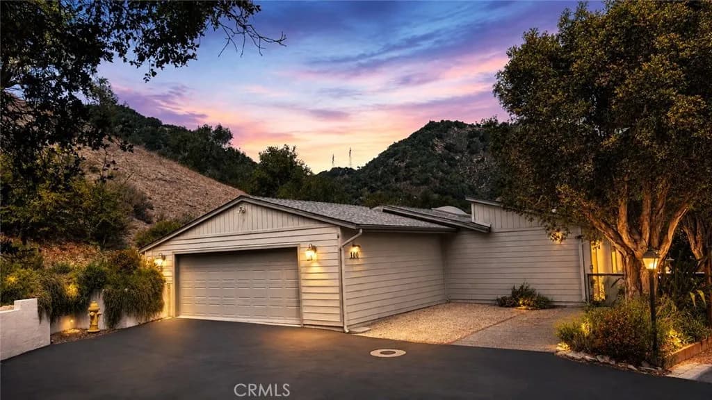
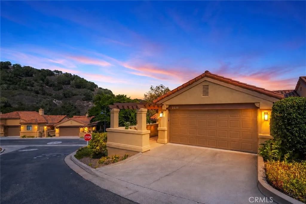
San Luis Bay Estates is a gated, master-planned development in the hills above Avila Beach Drive, organized under a master development plan that encompasses multiple residential clusters plus commercial and resort uses in the surrounding plan area. The residential side is not one neighborhood: named clusters such as Pelican Point, Heron Crest, Kingfisher Canyon, Skylark Meadow, Quail Canyon, Mallard Green, and Indian Hill each have their own housing product, era, and governance layer, ranging from small-lot attached homes to larger view homes to Indian Hill's age-qualified manufactured-home neighborhood where residents own their lots.
The practical consequence is layered homeowners association governance: a master association plus sub-association documents, each with its own rules, budgets, and reserves. Buyers are routinely surprised by the layering, so the diligence step is to request both levels of governing documents early and to confirm which obligations attach to the specific cluster. Access, evacuation routing, and surrounding land-use questions (including proposals at the nearby golf resort) have been active topics before county bodies in recent years, which is a reminder that even inside the gate, the land-use authority is San Luis Obispo County.
The town under the town: Avila's remediation and rebuild
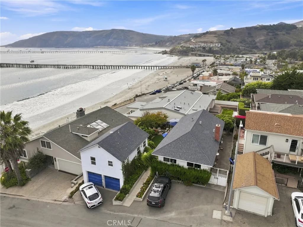
Avila Beach's modern downtown exists because the old one was excavated. Unocal operated a marine terminal, hillside tank farm, and pipelines here for most of the 20th century, and leaking lines left a petroleum plume estimated at roughly 400,000 gallons under the beachfront blocks. Unocal's own proposal had been to leave most of it in place and treat it; solidifying sand near the pier, sparging air through the ground under Front Street. The environmental review rejected that in favour of digging it out, the regional water board's April 1998 cleanup order made excavation binding, and a settlement and judgment signed that June by the state Department of Fish and Game, the regional water board, the county, and the community and environmental groups that had sued put money behind rebuilding what the excavation would destroy. The lower blocks of Front Street were demolished, large volumes of contaminated soil were excavated and replaced, the seawall and a section of the pier were rebuilt, and only a couple of the original buildings were moved and returned. Reconstruction under a new community plan wrapped up in the early 2000s.
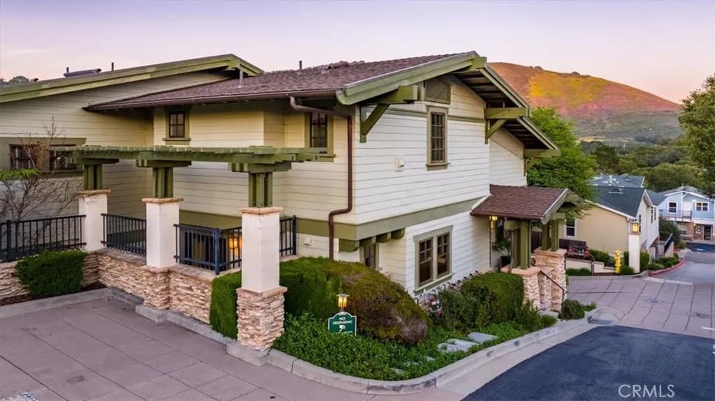
For real estate purposes, the takeaways are unusually concrete. The downtown building stock is newer than the town's founding-era image suggests, because most of it dates to the rebuild. The remediation is among the better-documented environmental projects on the Central Coast, with county, regional water board, and news-archive records available. And buyers still ask the question, so a parcel-level remediation and permit history is a legitimate item to assemble on beachfront-block properties rather than something to wave off.
Port San Luis is its own government, and the waterfront follows its plans
The Avila waterfront west of town is governed by the Port San Luis Harbor District, an independent special district created under the state Harbors and Navigation Code with five elected harbor commissioners. The district's holdings include extensive water area and waterfront land, and its adopted Port Master Plan organizes the waterfront into planning sub-areas including Harford Pier, Harford Landing, the beach and bluff, Harbor Terrace, the Lighthouse area, and the Avila Beach pier and parking area. Development on district land runs through that plan and, in the coastal zone, through Coastal Commission processes.
This matters for the neighborhood question buyers actually ask: whether the Harford Pier area is changing. The district has pursued phased restoration and redevelopment work on the pier, including board approvals for structural work that then requires coastal permitting, and it periodically issues leasing opportunities for pier businesses. The accurate framing is that the waterfront evolves through a public master-plan and permitting process, not private redevelopment, so anyone who wants to know what is coming can read the district's agendas directly. Current project status should always be verified with the Harbor District, since permitting timelines shift.
An Avila address is not always Avila town: See Canyon and the rural fringe
See Canyon, Squire Canyon, and the surrounding Avila Valley hills carry Avila-area identities but are rural San Luis Obispo County parcels, functionally different from the town core. The canyon is best known for its apple heritage: a cluster of orchards, farm stands, and cider producers operates along See Canyon Road, supported by a canyon microclimate with colder winter nights than the beach. Properties here are typically on wells and septic systems rather than district water and sewer, access is via canyon roads, and the land sits in State Responsibility Area; so fire-hazard severity is zoned by the State Fire Marshal and fire protection is CAL FIRE's, not the county's. Selling a home in a high or very high zone carries a statutory step most buyers have not met before: the seller must hand over documentation that the property complies with the state's defensible-space rule, or the two sides must agree in writing that the buyer will obtain it after closing.
The parallel to city-limits confusion elsewhere in the county is exact: the address says Avila, but the services, hazards, and diligence checklist say rural county parcel. Buyers moving from town or condo product should budget for well testing, septic inspection, fire-insurance shopping, and a read of the CAL FIRE hazard viewer for the specific parcel rather than for the canyon as a whole; the state re-adopted its responsibility-area zones in 2024, and the classification can change over the length of one road.
The Bob Jones Pathway: a real amenity with a long-running gap-closure project
The Bob Jones Pathway is a paved multi-use trail along San Luis Obispo Creek, and its existing Avila segment, running from the Ontario Road trailhead into town, is one of the community's genuine daily-life amenities: separated from traffic, flat, and used for beach commutes by bike and on foot, with direct connections to the Avila Beach Drive farm-stand corridor. It shows up in buyer decisions the way parks do elsewhere.
The long-planned City-to-the-Sea extension would close the remaining gap between the Avila segment and the trail sections in San Luis Obispo. The project spent years stalled over right-of-way on private land, and the county ultimately pivoted to a two-phase alignment on state right-of-way along US 101, backed by a state Active Transportation Program grant plus county, regional, and community funding. The Board of Supervisors awarded the first construction contract in July 2026, covering the Octagon Barn end of the gap; the second phase, carrying the route through to the Ontario Road staging area, needs a separate contract that has not been let. Schedules on this trail have slipped for three decades, so anyone for whom the connection matters should read the county Parks and Public Works project pages for the current phase rather than assume a completion date.
Living next to Diablo Canyon: the proximity facts
Diablo Canyon Power Plant sits on the coast northwest of Avila Beach on PG&E-managed land, and Avila is its closest neighboring community: plant traffic uses Avila Beach Drive to Diablo Canyon Road, plant emergency planning is organized around the community, and the plant's workforce is part of the local economy. San Luis Obispo County's Office of Emergency Services maintains the Diablo Canyon Emergency Planning Zone; larger than the roughly ten-mile radius federal rules call for, because the state expanded it; divided into twelve numbered protective action zones and backed by a siren network sounded in a full-scale test each August and an emergency planning calendar mailed once a year to households inside the zone. The town, San Luis Bay Estates, the golf-and-hot-springs corridor and lower See Canyon all sit in the same numbered zone rather than in several, and the county names two pickup points inside it; the Avila Beach Community Center and Fire Station 62; where residents without a car would be collected by bus if that zone were told to evacuate.
The plant's operating timeline is a state and federal policy matter that has moved multiple times and remains subject to legislative and regulatory decisions; our San Luis Obispo city guide covers that timeline under strict ground rules of stating the facts, flagging the uncertainty, and making zero market predictions, and the same rules apply here. For an Avila buyer, the actionable items are simpler: know your protective action zone, know the siren system exists and is tested, and get current plant-status information from the county OES and PG&E rather than from summaries.